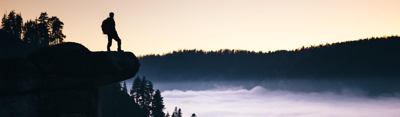
We let our views do the talking around here! Fresno and Clovis are the center points to experience the city and the great outdoors. These top trails offer the best views in Fresno County and our three nearby national parks. We promise the trek is worth the view! Click here to find these trails on the Visit Fresno County app map.
Pincushion Mountain Trail
Location: Friant, CA
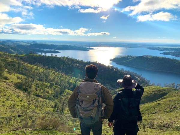
Wander the Pincushion Mountain Trail, a 2.8 mile round-trip trail located about 30 minutes from the Fresno/Clovis area near Friant, California. A favorite hike among locals, the short trail overlooks Millerton Lake and ends with a steep climb up to Pincushion Peak and a view of the foothills and Fresno in the distance.
Big Table Mountain Reserve
Location: Auberry, CA
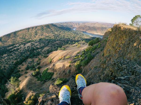
More experienced hikers and bicyclists can trek through the grasslands of the McKenzie Table Mountain Preserve and climb to the top of Big Table Mountain from Wellbarn Road (7.9 miles round-trip). Along the way, wildflowers bloom in the spring and summer and the trail oversees the river and Sierra Nevada mountains.
Buena Vista Peak
Location: Kings Canyon National Park
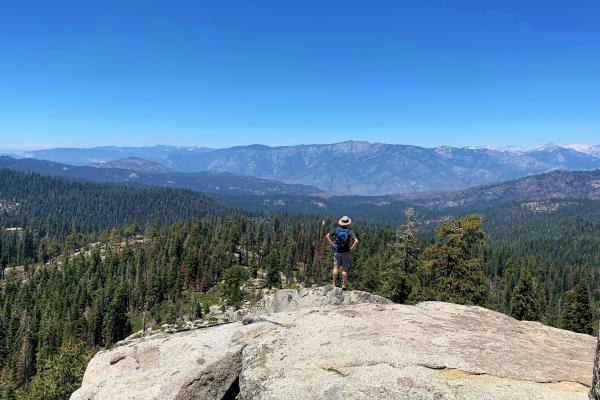
Fresno County is surrounded by three national parks, including Kings Canyon National Park. Right off the General's Highway, get a glimpse of the park's high country from Buena Vista viewpoint (2 miles) and see why it is the United States' biggest hidden gem.
Moro Rock
Location: Sequoia National Park
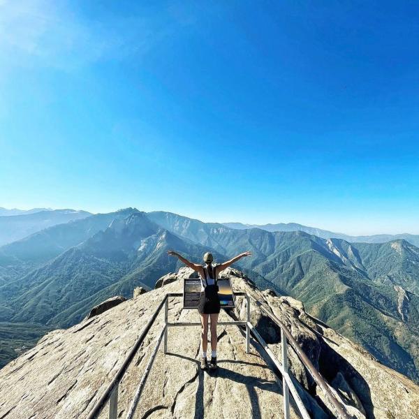
Moro Rock, (.5-miles) leads hikers to a gorgeous overlook of the mountains and forest. It's a popular trail, and a must-do when you're in Sequoia National Park. The park is only 90 minutes from Fresno and Clovis.
Vernal and Nevada Falls
Location: Yosemite National Park
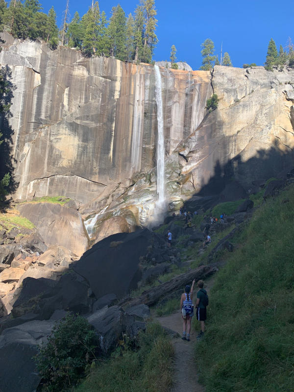
Hike to the top of two of Yosemite National Park’s beautiful waterfalls, Vernal Falls and Nevada Falls through the Mist Trail. Hikers can trek about .8 miles to the Vernal Footbridge for a gorgeous view of Vernal Falls. The trailhead also offers a great view of the park.